LumaVector Dynamics
Secure Aerial Intelligence for Infrastructure, Construction & Coastal Resilience
About LumaVector Dynamics
LumaVector Dynamics is a veteran-owned Blue UAS and NDAA-focused drone services company based in South Carolina, specializing in delivering secure, reliable aerial intelligence rather than just attractive footage. Built on FAA Part 107 operations, military imagery-analysis experience, and civil construction knowledge, we provide professional aerial imaging, FPV video, construction progress documentation, infrastructure inspection support, and geospatial mapping services to public-sector, construction, utility, real estate, tourism, and coastal resilience clients.
We serve contractors, developers, local governments, utilities, resorts, golf courses, real estate professionals, and infrastructure owners who need dependable aerial data for marketing, documentation, planning, compliance, and decision-making. From cinematic FPV fly-throughs to survey-grade Blue UAS LiDAR and mapping workflows, LumaVector Dynamics is positioned to support South Carolina's growing need for secure drone operations, infrastructure intelligence, and coastal resilience technology.
Our Services

Aerial Imaging & FPV Video
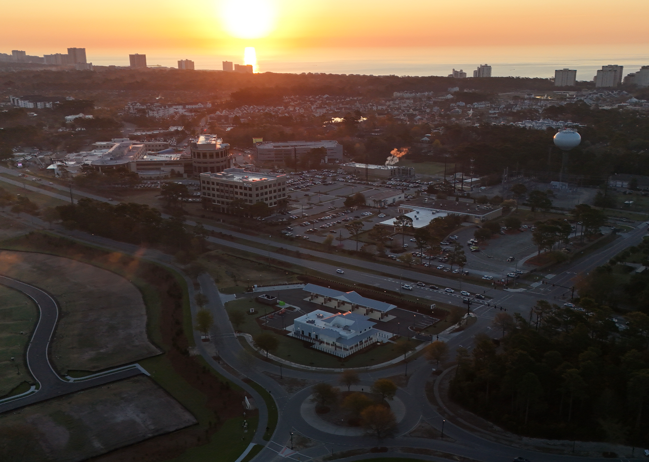
Professional aerial photography, cinematic FPV fly-throughs, and high-quality video documentation for marketing, real estate, tourism, and promotional purposes. Capture stunning perspectives that showcase properties, developments, and landscapes from unique vantage points.
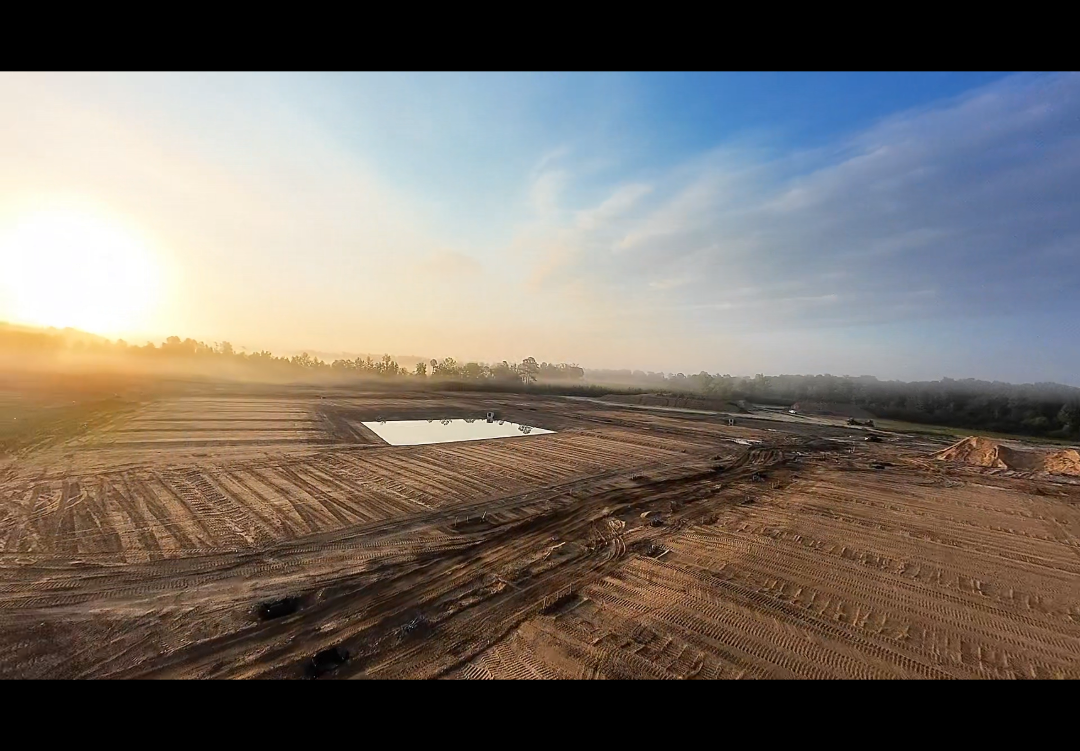
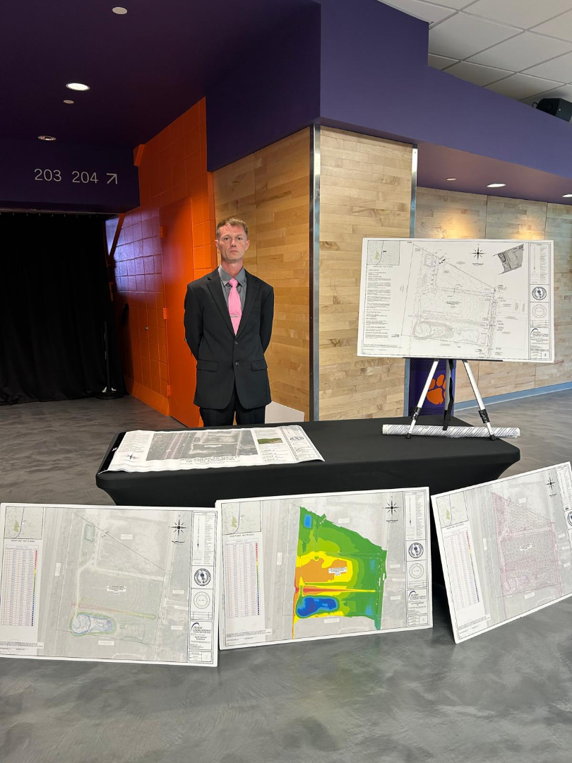
Infrastructure Inspection & Construction Documentation
Comprehensive construction progress documentation, infrastructure inspection support, and compliance monitoring for utilities, public-sector projects, and development sites. Deliver reliable visual intelligence for planning, decision-making, and regulatory compliance.
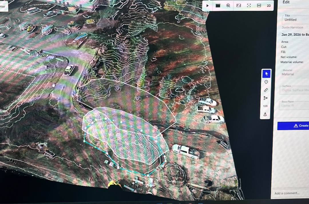
Geospatial Mapping & LiDAR Services
Survey-grade Blue UAS LiDAR mapping, GIS-ready deliverables, stormwater infrastructure inspection, and geospatial analysis for coastal resilience, emergency response, and infrastructure planning. Advanced mapping solutions for data-driven decision-making.